~by Mike Ripley, Inter-Tribal Fisheries and Assessment Program
Hey Sault Canada, your urban tributaries are filthy! But don’t feel too bad because the creeks that flow through Sault Michigan are just as dirty. Don’t get me wrong, I’m not pointing fingers at anyone in particular and to be honest, it’s taken a long time to get water quality this dismal but it is the year 2015 and maybe it’s time for both sides of the river to buck up and start doing something to clean the water?
For many years, the governments on both sides of the border have been working to clean up the St. Marys River that was labeled a “toxic hot spot” in the 1980’s due to things like industrial pollution, raw sewage overflows and destruction of the great St. Marys Rapids. A large, international study in the ‘80’s revealed that as much as 10,000 kg of oil and grease were being dumped into the river from Algoma Steel each day! And that was just one pollutant, there were also thousands of kilograms of cyanide, phenols from the paper plant, heavy metals and wood fiber being discharged directly into the river. Since that time millions of dollars of corporate and taxpayers money has been spent to clean things up and today water quality in the St. Marys River has greatly improved (except for the huge amounts of toxic sediments that still remain on the bottom of the Canadian side of the river).
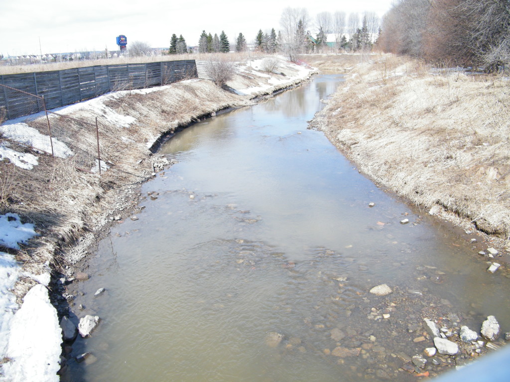
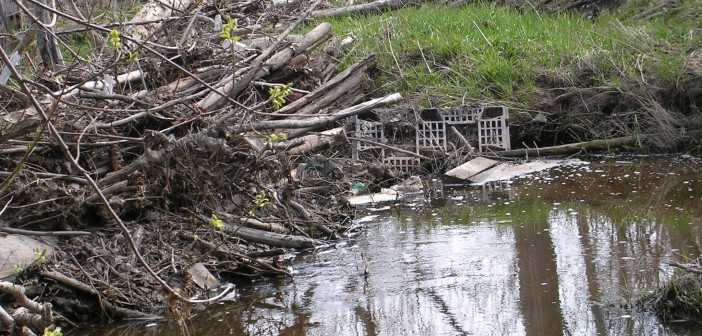
Fort Creek flows through downtown Sault Ste. Marie Canada collecting pollutants from industrial and urban runoff before flowing into the St. Marys River.
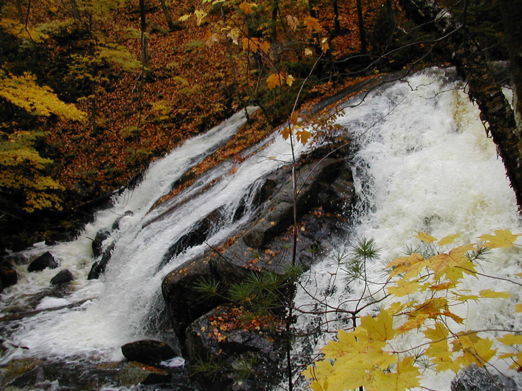
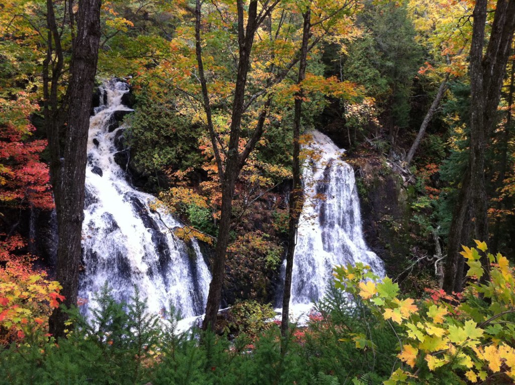
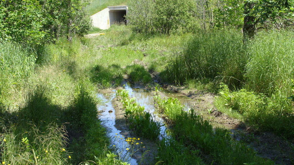
So if things are getting better in the big river, why are the creeks that flow into it in such bad shape? With the exception of Fort Creek, the headwaters of the other creeks in Sault Canada are in great condition. There are at least 7 beautiful waterfalls flowing over the Canadian shield above the city and water quality is, for the most part, very good up there. The problem is that most of Sault Ste. Marie is built on what used to be wetlands that have been paved over and filled in so by the time the water from those creeks flows through the city all of the pollutants in parking lots, salt from the roads, petroleum from leaking underground storage tanks and fertilizer, pet waste and “unknown sources of fecal material” have sullied those pure waters. Oh, and there’s the fact that those unruly creeks tend to overflow their banks and flood large sections of the city.
Concrete Not the Answer
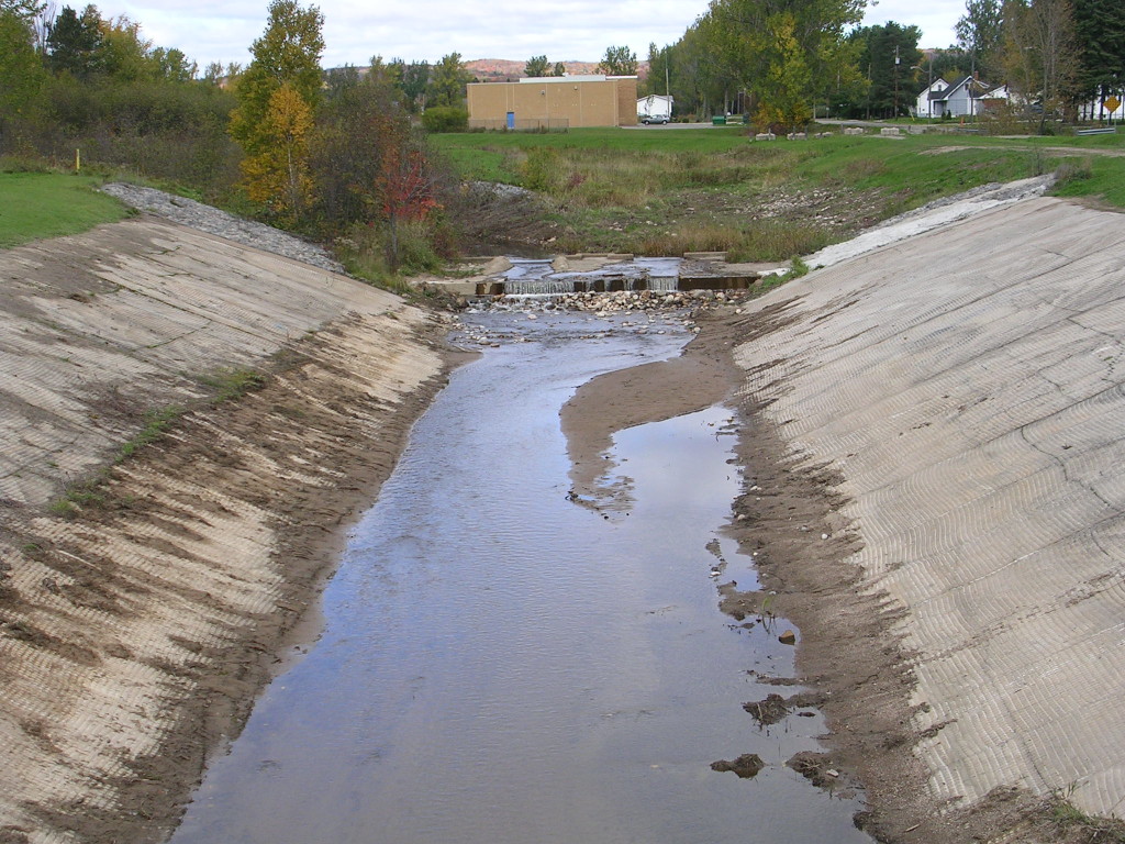
Flooding is where the Sault Area Conservation Authority comes in and they’ve taken a very hard stance on this issue indeed. Through the years they have “tamed” the creeks by channeling them through pipes, straight ditches and concrete channels called flood control structures. Basically by the time the creeks see the daylight at the shore of the St. Marys River they do not resemble their former sparkling selves one bit. I don’t mean to downplay the seriousness of flooding in the city. Anyone who has had water flowing into their basements or has seen the Wellington Street underpass beneath 10 feet of water knows the seriousness of flooding. But other cities all around North America, Europe and even in Asia are finding ways to naturalize their urban tributaries, getting rid of concrete channels and turning them into community assets with parks, trails and the return of fish and wildlife within the cities themselves while still controlling flood waters.
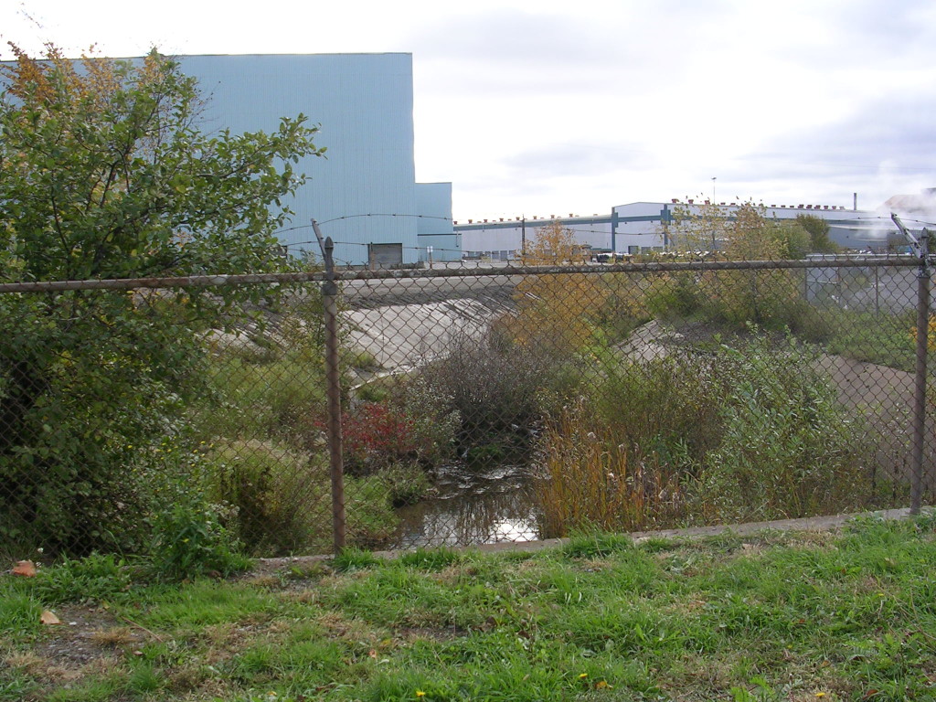
The same waters after they are channeled through concrete ditches and storm sewers disappear into the Essar Steel plant.
It’s not like there haven’t been plans and suggestions to restore the creeks here before. In the 1990’s the Department of Fisheries and Oceans developed a watershed plan for Bennett and Davignon Creeks which currently flow through concrete diversion channels partly into Leighs Bay and partly into the Essar Steel plant. The plan that DFO put together recognized that several areas of the diversion were becoming “naturalized” with sediments allowing wetland vegetation to grow in the concrete channels and especially in the area of Leighs Bay popular with local fishers. The thought was that if the streams could be restored and vegetation encouraged, flooding could still be controlled but water quality would be improved and fish could actually survive in these waters. The Conservation Authority and City however, rejected the plans saying that any vegetation in the concrete channels needs to be diligently removed. So every year the bulldozers come out and the vegetation is removed, trees cut and wetland vegetation is mowed down which does nothing to improve water quality or allow a fish the fighting chance to live.
Creeks or Storm Sewers?
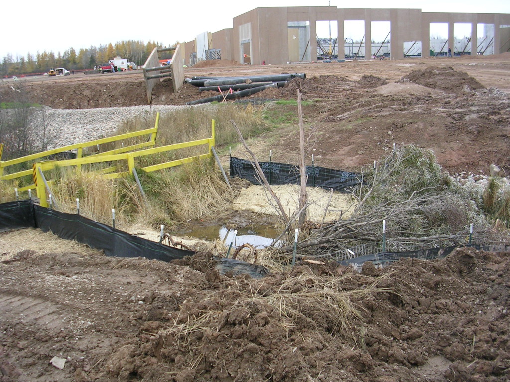
Meanwhile, the tributaries across the border have different problems but the same dirty outcomes. The creeks in Sault, Michigan originate in what used to be wetlands located on the clay plains that now make up the I-75 business district popular with cross-border shoppers looking for cheap gas and groceries. Every year more of the former wetlands are paved over for big box stores, car dealerships and residential developments but all that water has to go somewhere and Ashmun Creek and Mission Creek receive it all, often all at once leading to erosion and muddy water. The Ashmun Creek watershed alone, which encompasses about half of the drainage in Sault, Michigan, has 8 current or former leaking underground storage tank sites (having the decidedly un-sexy acronym LUST sites) that contribute cancer-causing pollutants like benzene to the creek. Add to that all of the salt used on parking lots and roads and studies have shown that some areas of Ashmun Creek are actually saltier than ocean water!
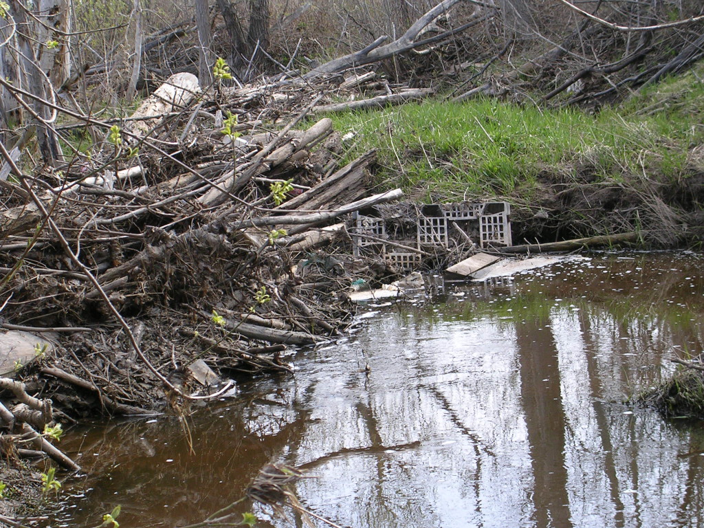
Ashmun Creek is a biohazard before it flows through perched culverts into Ashmun Bay and the St. Marys River.
Another mystery of these creeks is the anomalously high levels of bacterial pathogens. Water at the mouth of Ashmun Creek, where it flows into Ashmun Bay and the St. Marys River, not only contains all of the pollutants mentioned above, but it is also considered a bio-hazard due to insanely high levels of E. coli bacteria and fecal coliform. People in our area, especially those on Sugar Island, remember that it was E. coli bacteria that shut down beaches and lowered home values before the East End Sewage Treatment Plant in Sault, Canada was upgraded. The origin of the poopy water in Ashmun Creek however, remains a mystery.
A Chance to Change Things
It is possible to fix even these problems. In 2006, the Conservation District with help from local volunteers developed the Sault Area Watershed Plan that has been approved by the State of Michigan. The local volunteers have continued to meet and have formed the Sault Area Watershed Association. One of the visions of this group and Lake Superior State University is to protect a large area of wilderness between I-75 and the city airport that has survived development. LSSU professor Greg Zimmerman was successful at getting permission from the city and a small grant from the Michigan DNR to put some hiking trails in this area. Rampant ATV use in this area is compromising these trails however by creating more erosion and muddy ruts that fill with water, making some of the area almost inaccessible. ATVs and hiking trails are mutually exclusive for obvious safety and logistical problems. Another challenge is to identify how surface and groundwater are causing massive erosion problems in this area and the north side of the airport leading to washouts in the I-500 race track. The Watershed Association is applying for various grants to look into these and other problems.
Another vision being tentatively embraced by both Sault Ste. Marie city governments is to get citizens off of their butts (or bums as the case may be) and get non-motorized exercise by hiking, biking or otherwise enjoying the outdoors. These activities would mesh so nicely with restoration of our urban tributaries if we could just hold to that thought of non-motorized recreation? The former City Manager in Sault, Michigan once promised a non-motorized biking trail along Ashmun Bay but apparently, the City has other plans now – for an ATV trail instead.

